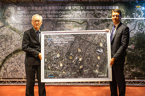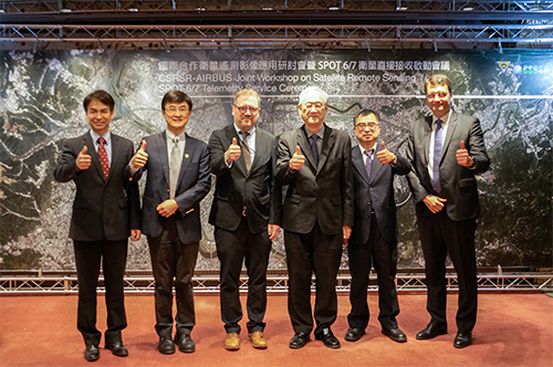


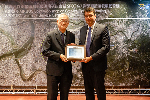
NCU and AIRBUS Sign Contract to Launch SPOT Direct Receiving Service
Multi-satellite remote sensing is an indispensable part of a modern state’s spatial information infrastructure. The Center for Space and Remote Sensing Research (CSRSR) at NCU and AIRBUS, the European multinational corporation, formally signed a contract to activate the “direct reception” of SPOT-6 and SPOT-7 earth observing satellite data, making CSRSR an official DRS (Direct Receiving Station) of SPOT-6/7. The 1.5-metre resolution satellite images can be acquired unlimitedly without any restriction, and data acquisition tasking for real-time monitoring and detection can also be carried out, within a 3,000-kilometer radius around NCU. The direct receiving provides a more stable data source for the research and applications and has opened a new era of satellite remote sensing in Taiwan!
“The major difference between the previous contract and the DRS lies in the quantity and immediacy of the satellite images. Before the signing of the DRS contract, it was like ordering separate dishes, but now it is like an all-you-can-eat plan. Not only does DRS allow unlimited image acquisition, it also significantly reduces the data processing and delivery time, which is critical for emergency monitoring. Compared to the volumes of received images in the same period last year, the volume increased 22 times this year. The CSRSR will regard the images as open data and provide SPOT satellite images for researchers in various academic fields and from the Ministry of Science and Technology (MOST) for free. A Web Map Tile Service (WMTS) for multi-temporal cloud-free image-mosaics of Taiwan, produced from archived and newly acquired SPOT images, is also open to public for non-profit use,” stated Dr. Tsai Fu-an, Director of the CSRSR.
The stable supply of multi-source remote sensing data is a crucial indicator of modern states. It can provide essential data and information for fundamental researches, monitoring of regional environment and oceans, land cover and land use monitoring, forest and agriculture, disaster investigation, monitoring, and mitigation, and various other researches and applications. Furthermore, such data can also be used to support diplomacy and national defense activities such as disaster monitoring in East Asian, regional image mapping, and hot spots monitoring.